Satlas

About Satlas
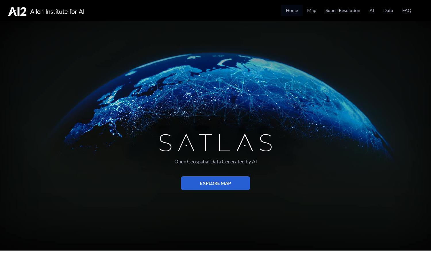
Satlas is an innovative platform that allows users to explore Earth's transformations through AI-enhanced satellite imagery. Targeted at researchers, policymakers, and environmentalists, Satlas utilizes cutting-edge AI models to provide clear insights into changes in infrastructure and ecosystems, making complex data accessible and actionable.
Satlas offers free access to its extensive geospatial datasets. While no subscription plans are mentioned, users can download AI-generated data for offline use. This ensures users have the best tools for comprehensive environmental analysis, enhancing the platform's value for researchers and policymakers alike.
The user interface of Satlas is designed for seamless navigation, featuring a clean layout that prioritizes user experience. With easy access to various datasets and tools, Satlas enhances user interactions, allowing for efficient exploration of satellite imagery and contributing to a better understanding of environmental changes.
How Satlas works
Users interact with Satlas by first accessing the website, where they can browse a range of AI-annotated satellite imagery. Upon onboarding, they can explore various datasets pertaining to marine and renewable energy infrastructure. The platform's design facilitates easy navigation, allowing users to utilize advanced AI models to enhance low-resolution images and analyze environmental changes effectively.
Key Features for Satlas
AI-enhanced Satellite Imagery
Satlas features AI-enhanced satellite imagery that allows users to visualize and analyze global environmental changes efficiently. By leveraging advanced computer vision models, Satlas empowers users with high-resolution images, enabling detailed assessments and insights that can drive informed decision-making regarding environmental management.
Open Geospatial Data
Satlas provides open, publicly available geospatial data, allowing users to download datasets for offline analysis. This feature promotes transparency and accessibility in environmental research, enabling a diverse audience, including researchers and policymakers, to analyze critical changes in marine and renewable energy infrastructures effectively.
Super-Resolution Technology
The super-resolution technology in Satlas enhances low-resolution satellite images, providing users with clearer and more detailed visualizations of Earth's changes. By applying state-of-the-art AI models, Satlas delivers high-quality imagery that supports comprehensive analysis of environmental impacts and trends, significantly benefiting researchers and analysts.
You may also like:


